


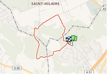

5.9 km | 8.1 km-effort


User


FREE GPS app for hiking
 SityTrail
IGN / Geographical institutes
SityTrail World
The world is yours!
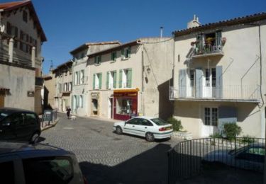
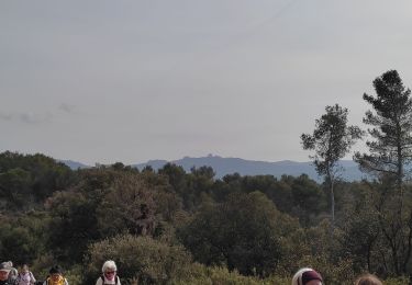
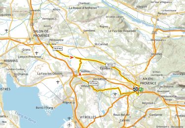
Trail Walking of 3.5 km to be discovered at Provence-Alpes-Côte d'Azur, Bouches-du-Rhône, Bouc-Bel-Air. This trail is proposed by rvdebouc.
Walking
Running

Mountain bike
Walking
Walking

Other activity
Mountain bike
Mountain bike
Road bike
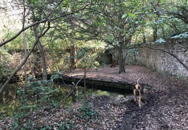
Très sympa. La forêt a été largement débroussaillée, donc très facile autour du sentier. Attention la piste entre Decoppet et Les 3 Pigeons est sur une propriété privée. Passage autorisé mais chien tenu en laisse (propriété non clôturée)