


Ternanteuil

olaze
User
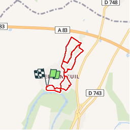

Length
6.7 km

Max alt
73 m

Uphill gradient
110 m
Km-Effort
8.2 km

Min alt
31 m

Downhill gradient
112 m
Boucle
Yes
Creation date :
2014-12-10 00:00:00.0
Updated on :
2014-12-10 00:00:00.0
2h23
Difficulty : Medium

FREE GPS app for hiking
 SityTrail
IGN / Geographical institutes
SityTrail Plus
The world is yours!
About
Trail Walking of 6.7 km to be discovered at New Aquitaine, Deux-Sèvres, Échiré. This trail is proposed by olaze.
Description
Rando départ et retour parking du château Salbart.Dénivelés 108.Club rando Bessines.
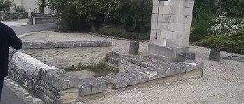
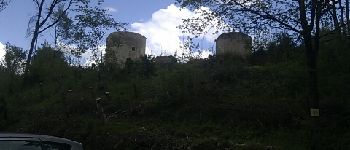
Photos


Positioning
Country:
France
Region :
New Aquitaine
Department/Province :
Deux-Sèvres
Municipality :
Échiré
Location:
Unknown
Start:(Dec)
Start:(UTM)
697740 ; 5142571 (30T) N.
Comments