


7.4 km | 8.9 km-effort


User


FREE GPS app for hiking
 SityTrail
IGN / Geographical institutes
SityTrail World
The world is yours!
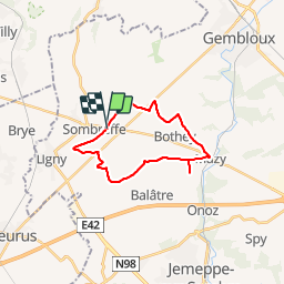
Trail Cycle of 18.4 km to be discovered at Wallonia, Namur, Sombreffe. This trail is proposed by pascgere@gmail.com.
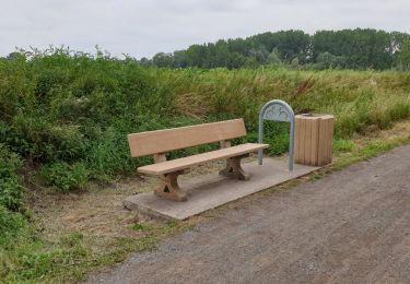
Chemin de campagne en terre et béton. Pas de circulation et rare intrusion en agglomération. Faire attention aux traversées de chaussée. Arrêt au km 9 le long du golf de Mazy pour souffler avant la deuxième partie qui est un peu plus dure.
Walking
Walking
Walking
Walking
Walking
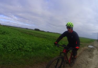
Mountain bike

Walking
Walking
Walking
tracé approximatif. Le départ se fait sur le ravel alors que le tracé indique un chemin parallèle à une 50aine de mètres.