


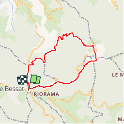

12.4 km | 18.3 km-effort


User


FREE GPS app for hiking
 SityTrail
IGN / Geographical institutes
SityTrail World
The world is yours!
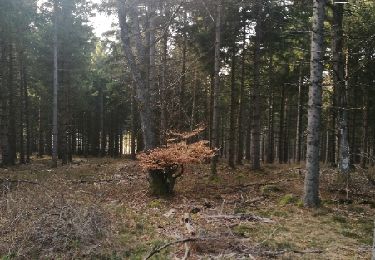
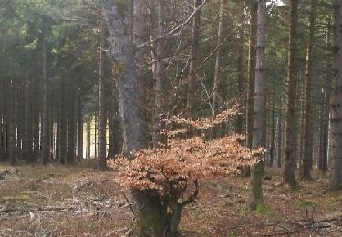
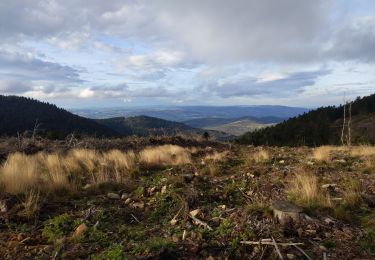
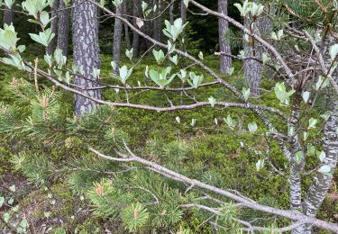
Trail Walking of 13.4 km to be discovered at Auvergne-Rhône-Alpes, Loire, Graix. This trail is proposed by boothcs.
Walking
On foot
Walking
Walking
Walking

Walking

Cross-country skiing
Walking
Walking
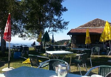
randonnée sympathique qui permet de voir le saut du Gier, sa source, et de bien s'orianter grâce à la table d'orientation. la montée? entre le saut du Gier et la Jasserie est escarpée.pour le balisage suivre le tracé blanc et noir