


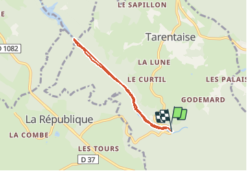

24 km | 34 km-effort

User


FREE GPS app for hiking
 SityTrail
IGN / Geographical institutes
SityTrail World
The world is yours!
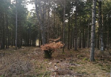
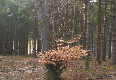
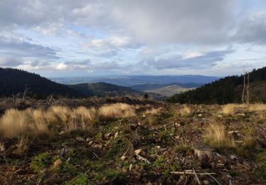
Trail Walking of 5.6 km to be discovered at Auvergne-Rhône-Alpes, Loire, Tarentaise. This trail is proposed by jepea.
le long du Furan


On foot
Walking
Walking
Walking

Walking
Walking
Walking

Cross-country skiing
Walking