


Thorigné (St Cous)

olaze
User
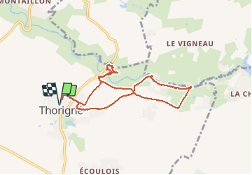

Length
8.7 km

Max alt
139 m

Uphill gradient
107 m
Km-Effort
10.1 km

Min alt
99 m

Downhill gradient
107 m
Boucle
Yes
Creation date :
2014-12-10 00:00:00.0
Updated on :
2014-12-10 00:00:00.0
2h46
Difficulty : Easy

FREE GPS app for hiking
 SityTrail
IGN / Geographical institutes
SityTrail Plus
The world is yours!
About
Trail Walking of 8.7 km to be discovered at New Aquitaine, Deux-Sèvres, Aigondigné. This trail is proposed by olaze.
Description
Circuit départ retour Thorigné.
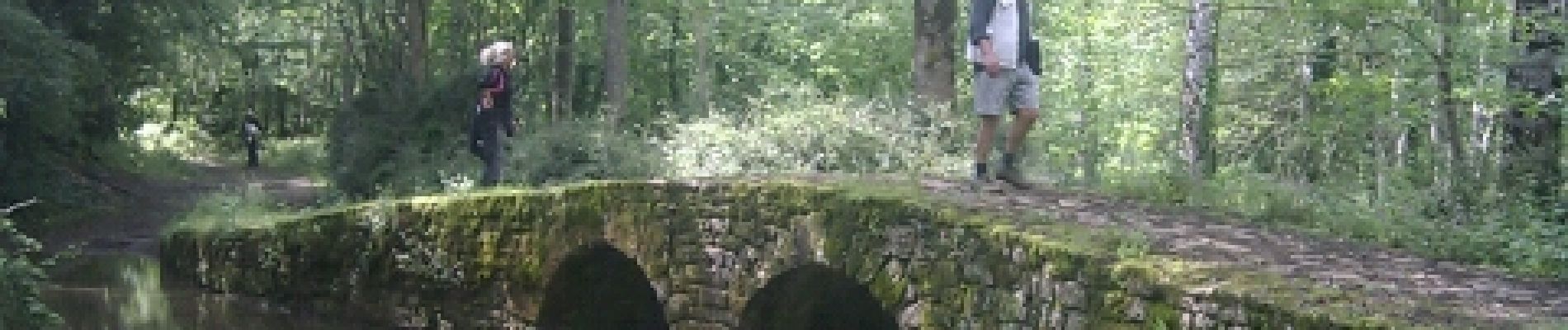
Anciennes carrières de St Cous.
Le long du Lambon.
Club rando Bessines.22 mai 2012.
Photos
 - Photo 1")
 - Photo 2")
 - Photo 3")
 - Photo 4")
 - Photo 5")
Positioning
Country:
France
Region :
New Aquitaine
Department/Province :
Deux-Sèvres
Municipality :
Aigondigné
Location:
Unknown
Start:(Dec)
Start:(UTM)
711646 ; 5130215 (30T) N.
Comments