


10 km | 12.6 km-effort


User


FREE GPS app for hiking
 SityTrail
IGN / Geographical institutes
SityTrail World
The world is yours!
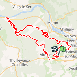
Trail Mountain bike of 47 km to be discovered at Grand Est, Meurthe-et-Moselle, Maizières. This trail is proposed by virginieHurpeau.
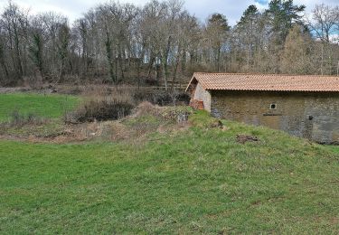
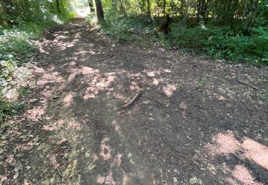
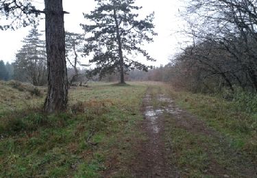
La résurgence de la Deuille d'Ochey en en crue à cause des orages... nombreux passage à gué > 70cm !
) - Photo 1")
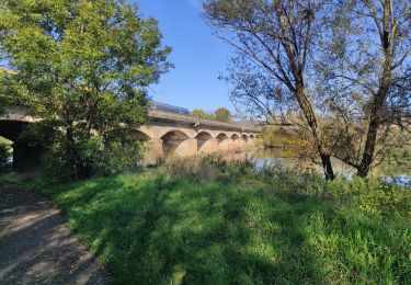
) - Photo 2")
On foot

Walking
Walking
Walking
Walking
Walking
Walking
Walking
Walking