


Fressines-11,7km

olaze
User
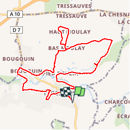

Length
11.7 km

Max alt
120 m

Uphill gradient
150 m
Km-Effort
13.7 km

Min alt
67 m

Downhill gradient
150 m
Boucle
Yes
Creation date :
2016-10-05 00:00:00.0
Updated on :
2016-10-05 00:00:00.0
3h00
Difficulty : Easy

FREE GPS app for hiking
 SityTrail
IGN / Geographical institutes
SityTrail Plus
The world is yours!
About
Trail Walking of 11.7 km to be discovered at New Aquitaine, Deux-Sèvres, Fressines. This trail is proposed by olaze.
Description
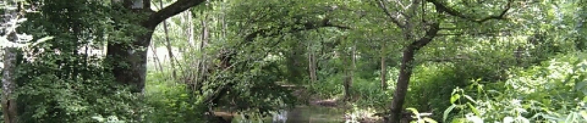
Agréable promenade autour de Fressines. Le long du Lambon et à travers les chemins souvent ombragés.
Club rando Bessines.Juin 2012
Photos


Positioning
Country:
France
Region :
New Aquitaine
Department/Province :
Deux-Sèvres
Municipality :
Fressines
Location:
Unknown
Start:(Dec)
Start:(UTM)
708542 ; 5133147 (30T) N.
Comments