


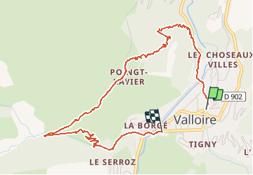


15.5 km | 29 km-effort


User


FREE GPS app for hiking
 SityTrail
IGN / Geographical institutes
SityTrail World
The world is yours!
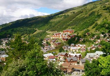
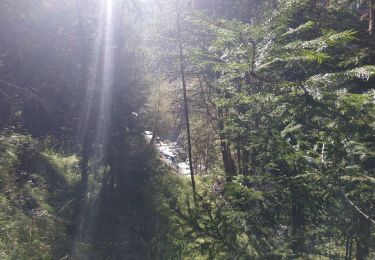
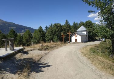
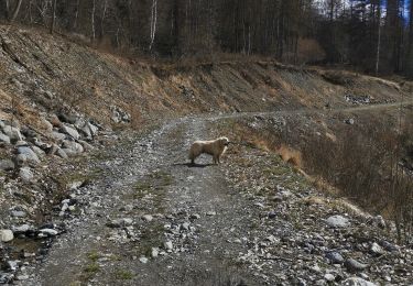
Trail Walking of 5.5 km to be discovered at Auvergne-Rhône-Alpes, Savoy, Valloire. This trail is proposed by Orangina_l.


Walking

Walking
Walking
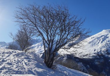
Snowshoes
Walking
Walking

Walking
Walking
Walking