


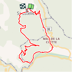

14.4 km | 19.3 km-effort


User


FREE GPS app for hiking
 SityTrail
IGN / Geographical institutes
SityTrail World
The world is yours!
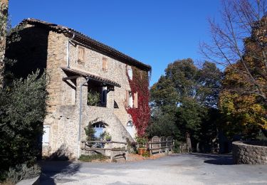
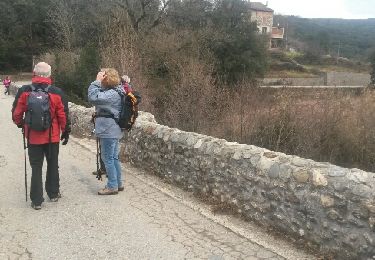
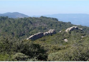
Trail Walking of 12.2 km to be discovered at Occitania, Gard, Soustelle. This trail is proposed by olivier78000.
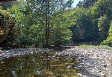
superbe randonnée. passages parfois délicats mais se fait bien.


Walking
Walking
Walking
Walking

Walking

Walking

Walking
Walking