


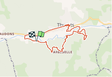

13.6 km | 23 km-effort


User


FREE GPS app for hiking
 SityTrail
IGN / Geographical institutes
SityTrail World
The world is yours!
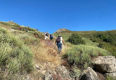
Trail Walking of 10.4 km to be discovered at Auvergne-Rhône-Alpes, Ardèche, Thueyts. This trail is proposed by philoustetou.
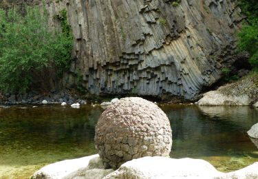
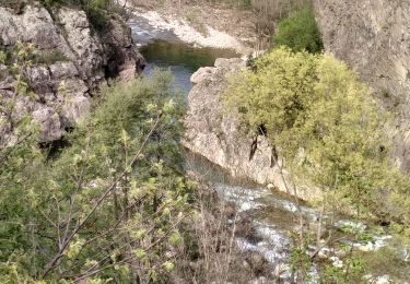
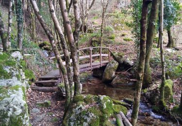
En partant du camping de Belos ou de Thueyts, ballade facile avec passage au pont du diable et vues sur Thueyts et la chaussée des géants.


Walking

Walking
Walking
Walking
Walking
Walking
Walking
Walking

Walking
thueyts