


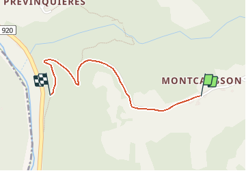


10.6 km | 16.1 km-effort


User


FREE GPS app for hiking
 SityTrail
IGN / Geographical institutes
SityTrail World
The world is yours!
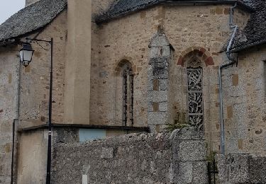
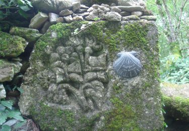
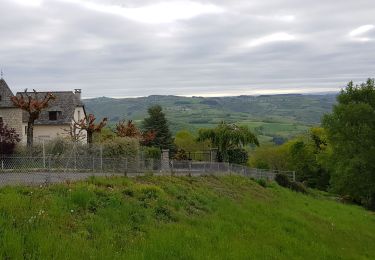
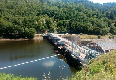
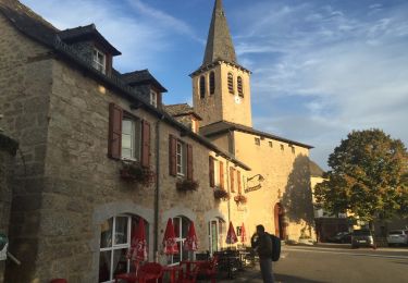
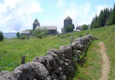
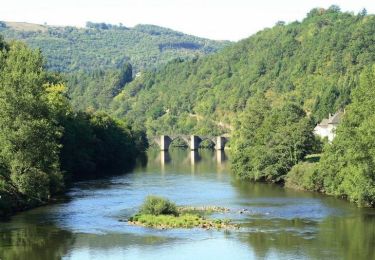
Trail Walking of 1.3 km to be discovered at Occitania, Aveyron, Florentin-la-Capelle. This trail is proposed by olivierl34150.


Walking
Walking
Walking

Electric bike
Walking
Walking
Walking
Cycle
Cycle