


Balade autour de Noailhac

sdroneau
User
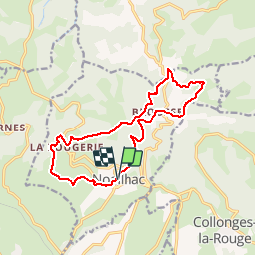

Length
14.7 km

Max alt
499 m

Uphill gradient
468 m
Km-Effort
21 km

Min alt
215 m

Downhill gradient
469 m
Boucle
Yes
Creation date :
2014-12-10 00:00:00.0
Updated on :
2014-12-10 00:00:00.0
4h00
Difficulty : Difficult

FREE GPS app for hiking
 SityTrail
IGN / Geographical institutes
SityTrail Plus
The world is yours!
About
Trail Walking of 14.7 km to be discovered at New Aquitaine, Corrèze, Noailhac. This trail is proposed by sdroneau.
Description
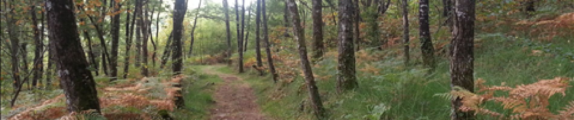
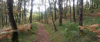
Au départ du charmant village de Noailhac, cette randonnée offre de jolis points de vue. Comportant peu de sections bitumées et des sentiers de qualité, elle est ombragée et agréable à faire en été.
Photos


Positioning
Country:
France
Region :
New Aquitaine
Department/Province :
Corrèze
Municipality :
Noailhac
Location:
Unknown
Start:(Dec)
Start:(UTM)
391264 ; 4991979 (31T) N.
Comments
Toujours aussi sympa à faire malgré la pluie qui a laissé quelques traces
très beau tracé sur des sentiers en sous bois,beaucoup de boue en période hivernale.