


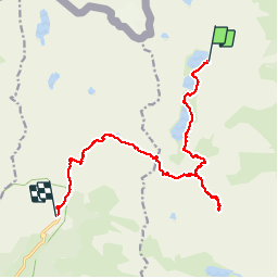

14.6 km | 24 km-effort


User


FREE GPS app for hiking
 SityTrail
IGN / Geographical institutes
SityTrail World
The world is yours!
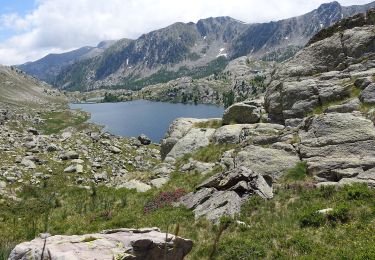
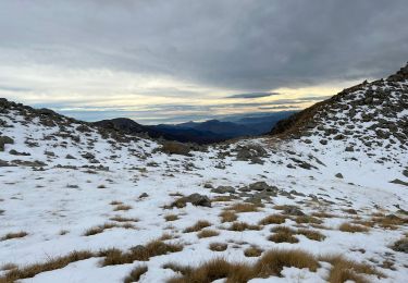
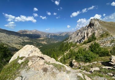
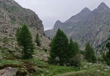
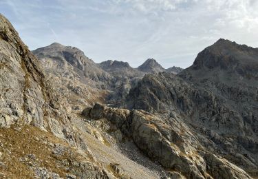
Trail Walking of 16.9 km to be discovered at Provence-Alpes-Côte d'Azur, Maritime Alps, Tende. This trail is proposed by ch2slv.
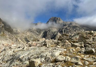
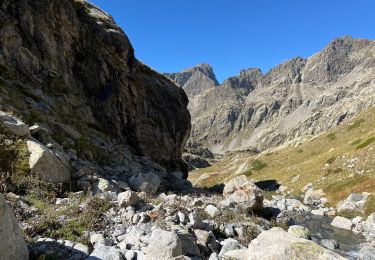
Retour vers la Gordolasque depuis le Refuge de Valmasque, passant par le Mont Bego, la Baisse de Valmasque.
La montée au Bégo est souvent scabreuse. Les descentes vers la Baisse de valmasque et depuis la Baisse de l'Autier sont "sableuses" !!
On foot
On foot
Walking
Walking
Walking
Walking
Walking
Walking
Walking