le tour de la Vicomté

sdroneau
User
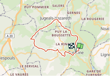

Length
14.1 km

Max alt
359 m

Uphill gradient
352 m
Km-Effort
18.8 km

Min alt
174 m

Downhill gradient
357 m
Boucle
Yes
Creation date :
2014-12-10 00:00:00.0
Updated on :
2014-12-10 00:00:00.0
3h30
Difficulty : Medium

FREE GPS app for hiking
 SityTrail
IGN / Geographical institutes
SityTrail Plus
The world is yours!
About
Trail Walking of 14.1 km to be discovered at New Aquitaine, Corrèze, Turenne. This trail is proposed by sdroneau.
Description
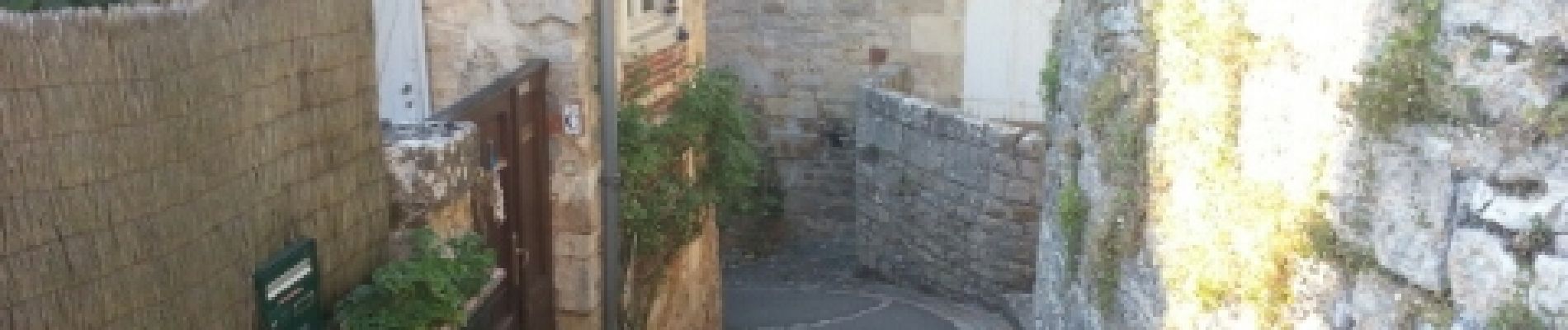
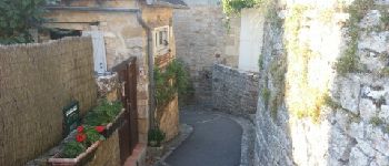
Au départ du village classé de Turenne, cette randonnée vous fera découvrir le causse et ces chemins bordés de pierres sèches. Bonne ballade.
Photos


Positioning
Country:
France
Region :
New Aquitaine
Department/Province :
Corrèze
Municipality :
Turenne
Location:
Unknown
Start:(Dec)
Start:(UTM)
388276 ; 4989847 (31T) N.
Comments