


La Roussille par Noron

olaze
User
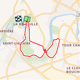

Length
7.6 km

Max alt
17 m

Uphill gradient
44 m
Km-Effort
8.2 km

Min alt
5 m

Downhill gradient
43 m
Boucle
Yes
Creation date :
2014-12-10 00:00:00.0
Updated on :
2014-12-10 00:00:00.0
1h47
Difficulty : Very easy

FREE GPS app for hiking
 SityTrail
IGN / Geographical institutes
SityTrail Plus
The world is yours!
About
Trail Walking of 7.6 km to be discovered at New Aquitaine, Deux-Sèvres, Niort. This trail is proposed by olaze.
Description
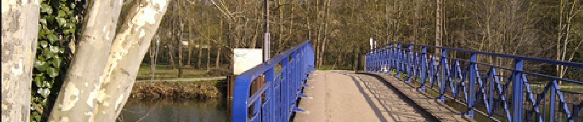
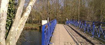
Circuit départ et retour "La Roussille". Bords de Sèvre St-Liguaire,Plan d'eau de Noron, ferme de Chey.
Club rando bessines* 2012.
Photos


Positioning
Country:
France
Region :
New Aquitaine
Department/Province :
Deux-Sèvres
Municipality :
Niort
Location:
Unknown
Start:(Dec)
Start:(UTM)
691730 ; 5133933 (30T) N.
Comments