


pila

titim
User
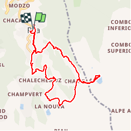

Length
10.8 km

Max alt
2345 m

Uphill gradient
581 m
Km-Effort
18.5 km

Min alt
1793 m

Downhill gradient
581 m
Boucle
Yes
Creation date :
2014-12-10 00:00:00.0
Updated on :
2014-12-10 00:00:00.0
4h32
Difficulty : Unknown

FREE GPS app for hiking
 SityTrail
IGN / Geographical institutes
SityTrail Plus
The world is yours!
About
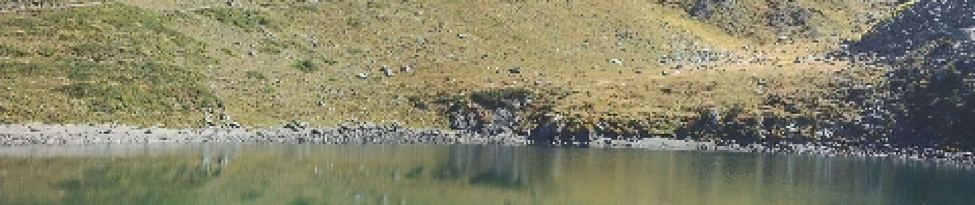
Trail Walking of 10.8 km to be discovered at Aosta Valley, Unknown, Gressan. This trail is proposed by titim.
Photos


Positioning
Country:
Italy
Region :
Aosta Valley
Department/Province :
Unknown
Municipality :
Gressan
Location:
Unknown
Start:(Dec)
Start:(UTM)
368479 ; 5060708 (32T) N.
Comments
bon chemin, belle randonne.elle passe par le lac de chamole et si l'envie vous vient de continuer : vous pouvez depuis le lac pousser jusqu'au refuge à 200m de dénivelé plus haut (compter 1h15 de plus)