


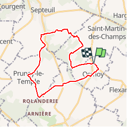

15.8 km | 19.7 km-effort


User


FREE GPS app for hiking
 SityTrail
IGN / Geographical institutes
SityTrail World
The world is yours!
Trail Walking of 13.6 km to be discovered at Ile-de-France, Yvelines, Osmoy. This trail is proposed by raivavae.
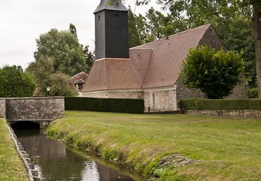
Chemin Notre de Pitié

Walking

Walking

Running
Mountain bike
Walking
Walking

Walking
Walking
Walking
Bonjour. qu'est-ce qui explique le niveau "difficile" ? le dénivelé est faible, donc je m'interrogeais. merci