


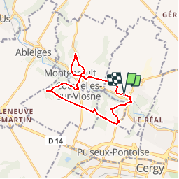


5.2 km | 5.8 km-effort


User


FREE GPS app for hiking
 SityTrail
IGN / Geographical institutes
SityTrail World
The world is yours!
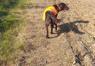
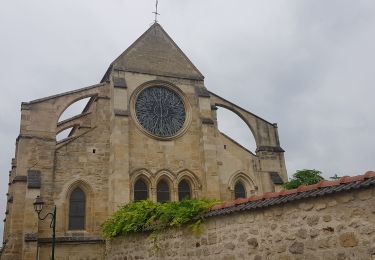
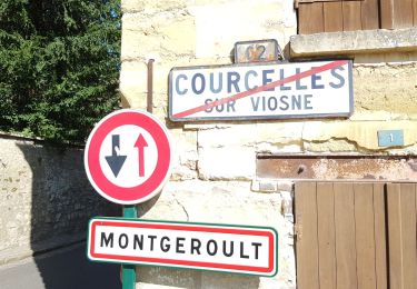
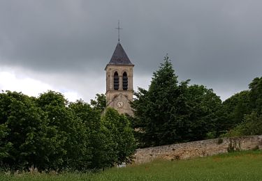
Trail Walking of 10.9 km to be discovered at Ile-de-France, Val-d'Oise, Boissy-l'Aillerie. This trail is proposed by ppeul.
Page 112 Topo guide Vexin Francais à pied

Running
On foot
On foot

Walking
Walking
Walking
Walking
Walking
Walking