


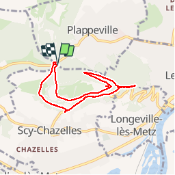

13.8 km | 17 km-effort


User


FREE GPS app for hiking
 SityTrail
IGN / Geographical institutes
SityTrail World
The world is yours!
Trail Walking of 6.9 km to be discovered at Grand Est, Moselle, Plappeville. This trail is proposed by edmondnagel.
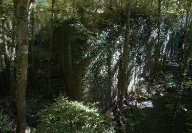
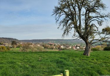
Départ Arboretum de Plappeville, col de Lessy pour le Mont Saint-Quentin, avec un beau panorama sur Metz. Ensuite, on se dirige vers la tour Bismarck, la tour Hertzienne et le fort Diou puis le fort Gérardin et retour à l'Arboretum.


Walking

Walking
On foot
On foot
On foot
On foot

Mountain bike

Walking
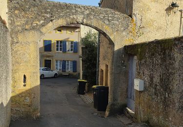
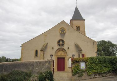
belle petite rando