


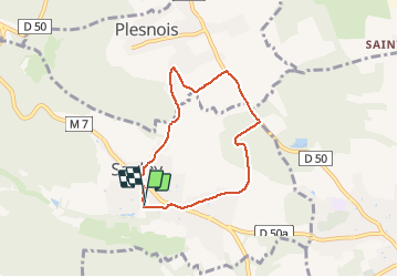

6.9 km | 9.2 km-effort


User


FREE GPS app for hiking
 SityTrail
IGN / Geographical institutes
SityTrail World
The world is yours!
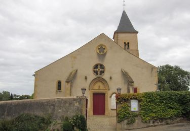
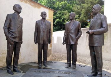
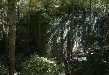
Trail Walking of 5.8 km to be discovered at Grand Est, Moselle, Saulny. This trail is proposed by pistou.


Walking

Walking

Walking
On foot
On foot
On foot

Walking

Equestrian
Walking
Joli
Merci pour le partage de cette randonnée.