


Mattes rouges

Machaon6
User
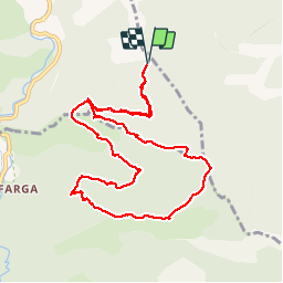

Length
11.5 km

Max alt
1750 m

Uphill gradient
732 m
Km-Effort
21 km

Min alt
1126 m

Downhill gradient
733 m
Boucle
Yes
Creation date :
2018-01-11 00:00:00.0
Updated on :
2018-01-11 00:00:00.0
4h32
Difficulty : Medium

FREE GPS app for hiking
 SityTrail
IGN / Geographical institutes
SityTrail Plus
The world is yours!
About
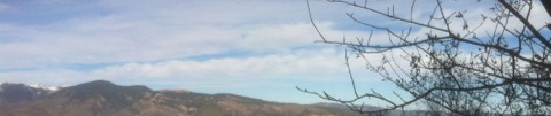
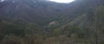
Trail Walking of 11.5 km to be discovered at Occitania, Pyrénées-Orientales, Sahorre. This trail is proposed by Machaon6.
Photos


Positioning
Country:
France
Region :
Occitania
Department/Province :
Pyrénées-Orientales
Municipality :
Sahorre
Location:
Unknown
Start:(Dec)
Start:(UTM)
449140 ; 4707066 (31T) N.
Comments
Super paysages