


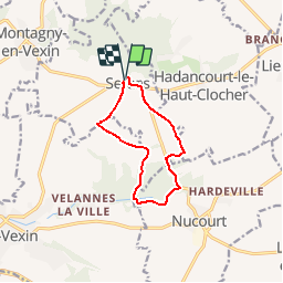


10.2 km | 12.2 km-effort


User


FREE GPS app for hiking
 SityTrail
IGN / Geographical institutes
SityTrail World
The world is yours!
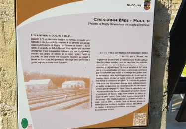
Trail Walking of 8.7 km to be discovered at Hauts-de-France, Oise, Serans. This trail is proposed by marcel.F.
Boucle de Velannes - départ rue de la mairie


Walking

Equestrian

Walking
Walking

Walking

Walking
On foot
On foot
Walking