


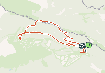


15.1 km | 24 km-effort


User


FREE GPS app for hiking
 SityTrail
IGN / Geographical institutes
SityTrail World
The world is yours!
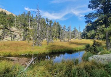
Trail Snowshoes of 10.8 km to be discovered at Occitania, Pyrénées-Orientales, Formiguères. This trail is proposed by xav34830.
Ruta circular que comienza y acaba en el parking de la estación de esquí de Formigueres. Bastante agradable, excepto la subida de en medio, un poco dura por la pendiente

Walking

Walking
Walking

Walking
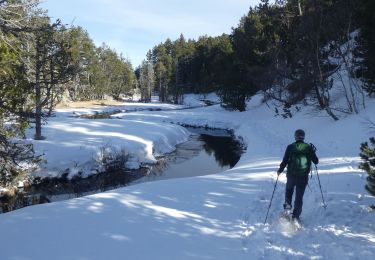
Snowshoes

Snowshoes
Snowshoes
Walking

Walking