


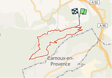

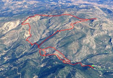
14.2 km | 24 km-effort


User


FREE GPS app for hiking
 SityTrail
IGN / Geographical institutes
SityTrail World
The world is yours!
Trail Walking of 9 km to be discovered at Provence-Alpes-Côte d'Azur, Bouches-du-Rhône, Aubagne. This trail is proposed by perini.
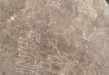
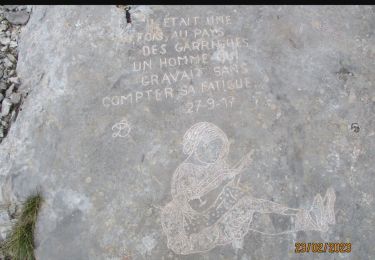
du parking suivre le balisage jaune tout le long de la rando
Walking
Walking
Walking

On foot

Walking

Mountain bike
Walking
Walking
Walking
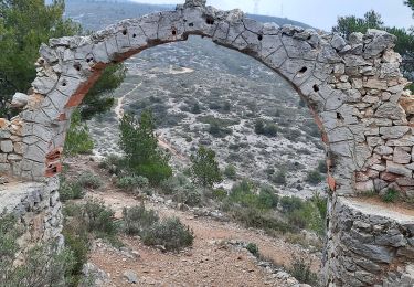
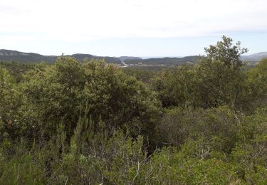
Une belle randonnée j'ai fais une petite variante mais superbe