


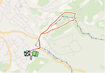


19.8 km | 26 km-effort


User


FREE GPS app for hiking
 SityTrail
IGN / Geographical institutes
SityTrail World
The world is yours!
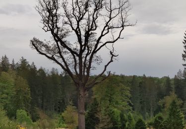
Trail Equestrian of 3.4 km to be discovered at Wallonia, Liège, Verviers. This trail is proposed by anne-lise.
toute petite balade pour tremper les pieds. Une seule grosse montée.
Walking

Walking

Walking

Walking
Walking
On foot

Walking

Walking
Mountain bike