


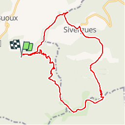

10.8 km | 13.8 km-effort


User


FREE GPS app for hiking
 SityTrail
IGN / Geographical institutes
SityTrail World
The world is yours!
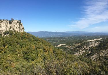
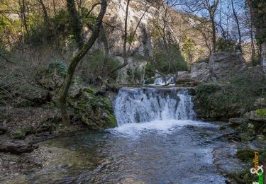
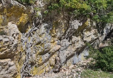
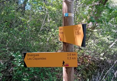
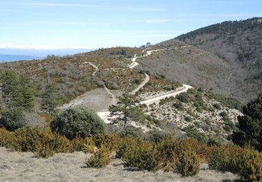
Trail Running of 10.3 km to be discovered at Provence-Alpes-Côte d'Azur, Vaucluse, Buoux. This trail is proposed by slivoide.
mmonter sur les crete du luberon par seguin retour par sivergue

Walking

Walking
Walking
Walking
Walking

Walking
Walking

Walking
Walking