


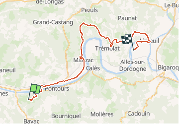


10.6 km | 14.1 km-effort


User GUIDE


FREE GPS app for hiking
 SityTrail
IGN / Geographical institutes
SityTrail World
The world is yours!
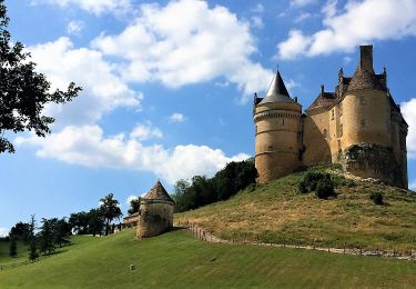
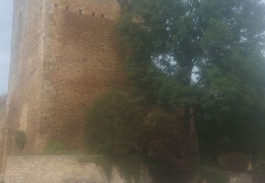
Trail Equestrian of 30 km to be discovered at New Aquitaine, Dordogne, Couze-et-Saint-Front. This trail is proposed by holtzv.
Départ : La Ferme du Peytavit
Arrivée : La Haute Yerle
On foot
On foot
On foot
On foot

On foot

Walking
Walking
Walking
Walking