


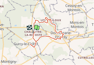


31 km | 38 km-effort


User


FREE GPS app for hiking
 SityTrail
IGN / Geographical institutes
SityTrail World
The world is yours!
Trail Walking of 14.3 km to be discovered at Ile-de-France, Seine-et-Marne, Gurcy-le-Châtel. This trail is proposed by jcm17.
rando SLV7 du 12 janvier à Chalautre et Gurcy

On foot
Walking

Walking

Walking
Walking

Walking
Walking
Walking
Walking
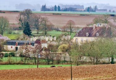
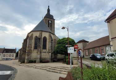
Tiens, voilà un tracé qui ressemble au mien ;o)Ai mis que 2 étoiles (peu mieux faire), car pour en avoir +, faudrait qlqs photos ;o)