


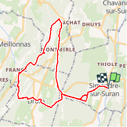

13 km | 19.2 km-effort


User


FREE GPS app for hiking
 SityTrail
IGN / Geographical institutes
SityTrail World
The world is yours!
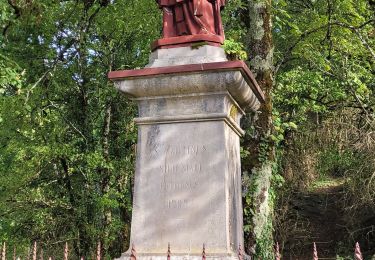
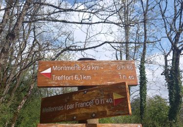
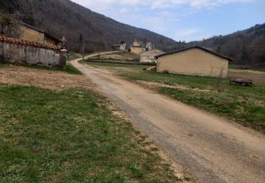
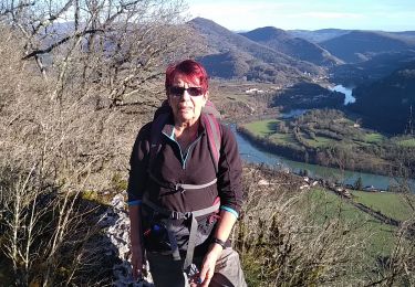
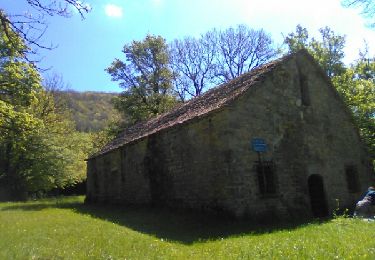
Trail Running of 20 km to be discovered at Auvergne-Rhône-Alpes, Ain, Simandre-sur-Suran. This trail is proposed by bvlo.
Walking
Walking


sport
Walking
Walking
Walking
Walking
Walking
Walking