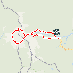
17.3 km | 37 km-effort
soufriere
lucienp
User
Length
12.2 km
Max alt
1374 m
Uphill gradient
1221 m
Km-Effort
28 km
Min alt
577 m
Downhill gradient
1209 m
Boucle
Yes
Creation date :
2016-03-09 00:00:00.0
Updated on :
2016-03-09 00:00:00.0
5h36
Difficulty : Medium
FREE GPS app for hiking
About
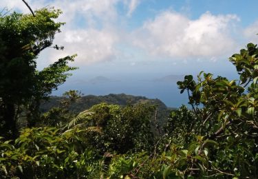
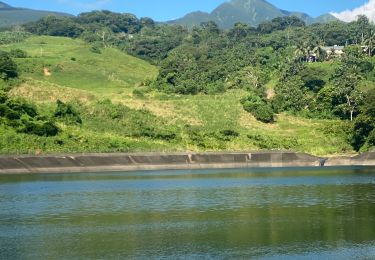
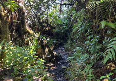
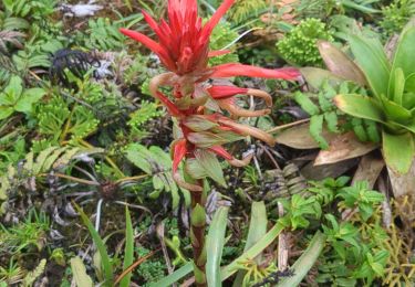
Trail Walking of 12.2 km to be discovered at Guadeloupe, Unknown, Capesterre-Belle-Eau. This trail is proposed by lucienp.
Description
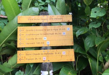
Soufrière et chutes du Carbet
Positioning
Country:
France
Region :
Guadeloupe
Department/Province :
Unknown
Municipality :
Capesterre-Belle-Eau
Location:
Unknown
Start:(Dec)
Start:(UTM)
645719 ; 1774080 (20Q) N.
Comments
Trails nearby
trace des poteaux monté armistice l'echelle soufrière carmichael matouba
Other activity
Very difficult
(1)
Trois-Rivières,
Guadeloupe,
Unknown,
France
6h 57min
No
chutes du carbets 1 et 2 🇬🇵
Walking
Medium
Capesterre-Belle-Eau,
Guadeloupe,
Unknown,
France
6.7 km | 12.5 km-effort
3h 54min
No
la souffriere
Walking
Very easy
(1)
Saint-Claude,
Guadeloupe,
Unknown,
France
6.7 km | 13.2 km-effort
4h 3min
Yes
Soufrière sommet
Walking
Difficult
Saint-Claude,
Guadeloupe,
Unknown,
France
3.5 km | 8.4 km-effort
3h 12min
No
La Soufrière
Walking
Medium
Saint-Claude,
Guadeloupe,
Unknown,
France
12.7 km | 24 km-effort
6h 14min
Yes
Barrage
Trail
Medium
Capesterre-Belle-Eau,
Guadeloupe,
Unknown,
France
5 km | 6.5 km-effort
53min
Yes
Le Barrage
Trail
Medium
Capesterre-Belle-Eau,
Guadeloupe,
Unknown,
France
4.4 km | 5.8 km-effort
46min
Yes
La Soufrière et l’Echelle
Walking
Difficult
Saint-Claude,
Guadeloupe,
Unknown,
France
9.5 km | 18.9 km-effort
5h 12min
Yes
la soufriere - Basse Terre
Walking
Medium
Saint-Claude,
Guadeloupe,
Unknown,
France
6.4 km | 13 km-effort
3h 59min
Yes
ok
dans quel sens?