


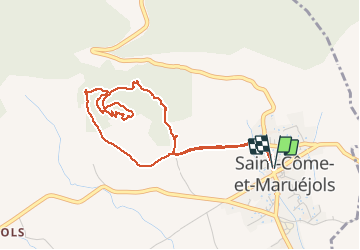

13.8 km | 17.2 km-effort

User


FREE GPS app for hiking
 SityTrail
IGN / Geographical institutes
SityTrail World
The world is yours!
Trail Walking of 4.9 km to be discovered at Occitania, Gard, Saint-Côme-et-Maruéjols. This trail is proposed by CAMBON.
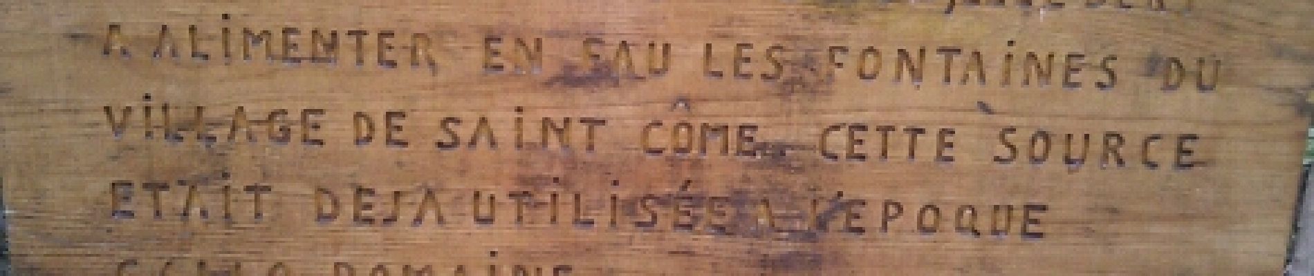
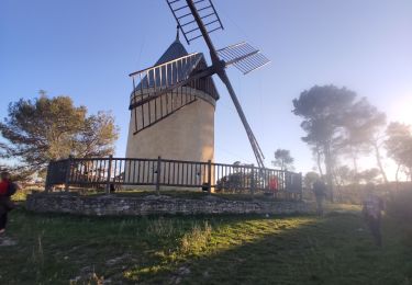
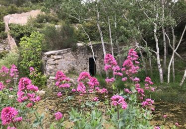
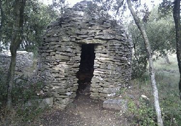
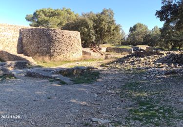
Des constructions à partir du IV
siècle av JC. Une vue magnifique sur la Vaunage. Le sentier traverse des bois de
chêne vert et blanc, arbousier


Walking
Walking
Walking

Mountain bike
Walking

Walking
Walking
Walking
Walking