


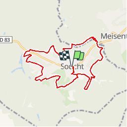

13.1 km | 17.5 km-effort

User


FREE GPS app for hiking
 SityTrail
IGN / Geographical institutes
SityTrail World
The world is yours!
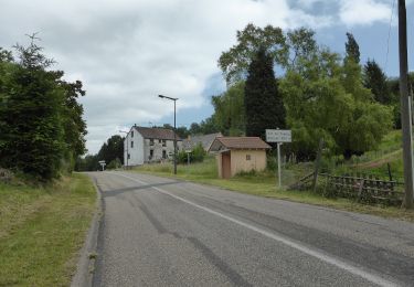
Trail Walking of 9.2 km to be discovered at Grand Est, Moselle, Soucht. This trail is proposed by tracegps.
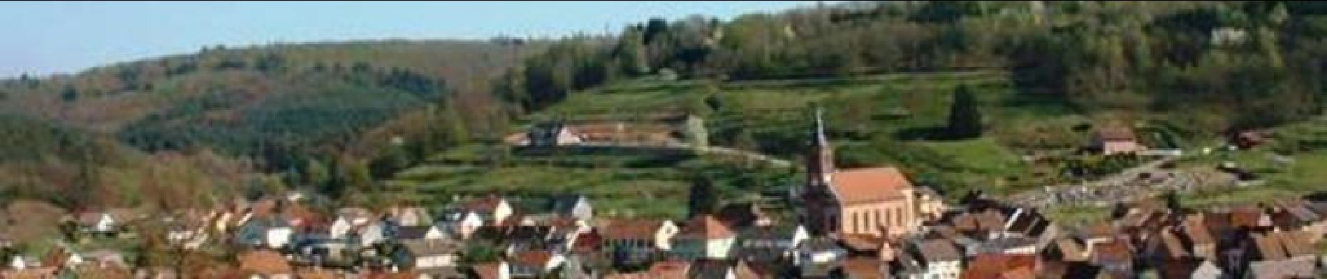
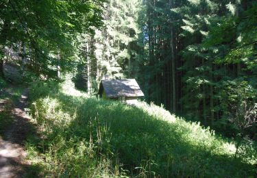
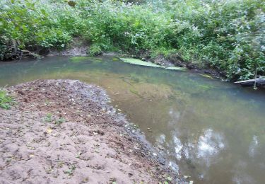
Circuit autour de Soucht qui part du centre du village, place de la République; il se déroule sur les hauteurs et offre de jolis points de vue. Possibilité de visiter le musée du Sabot et de se restaurer "Au vieux sabotier".


Walking
On foot
On foot
On foot

On foot