


15.3 km | 23 km-effort


User


FREE GPS app for hiking
 SityTrail
IGN / Geographical institutes
SityTrail World
The world is yours!
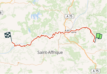
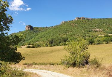
Trail Cycle of 103 km to be discovered at Occitania, Aveyron, Nant. This trail is proposed by tracegps.
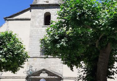
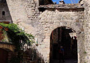
Circuit proposé par le Comité Départemental de Tourisme de l'Aveyron. Vous êtes au cœur des Gorges de la Dourbie avant de rejoindre la ville de Millau et son célèbre Viaduc. Arrêtez-vous à Peyre (village classé avec une vue unique sur le viaduc) et découvrez son église troglodytique. Traversez les Raspes du Tarn : une cascade et des points de vues jonchent ce parcours. Une belle halte à Brousse-le-Château, l'autre village classé de ce circuit sera la bienvenue avant de rejoindre Réquista. Départ : Nant


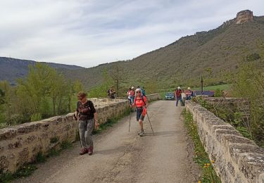
Walking
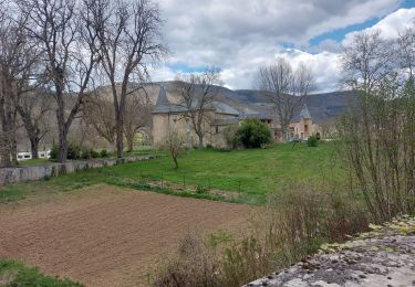
Walking
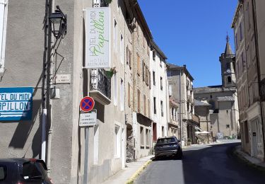
Walking
Walking
Walking
Walking

Walking
Walking