


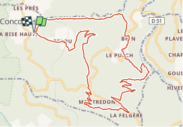


9.3 km | 15.6 km-effort

User


FREE GPS app for hiking
 SityTrail
IGN / Geographical institutes
SityTrail World
The world is yours!
Trail Walking of 15.9 km to be discovered at Occitania, Gard, Concoules. This trail is proposed by tracegps.
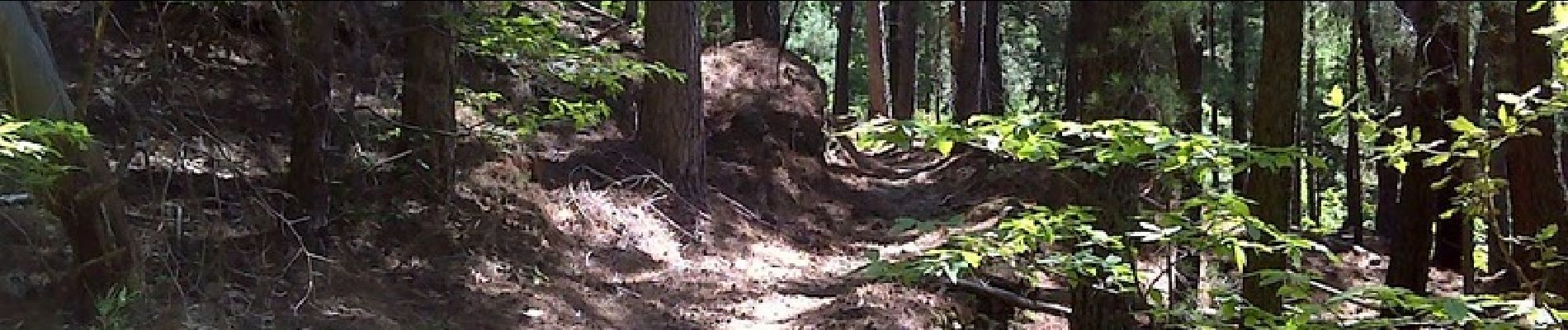
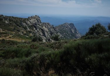
Superbe rando sur du beau sentier, un endroit qui monte très fort genre coupe feu. De la petite route sur la fin 2km pas désagréable. Je pense que ce circuit a été modifié pour des raisons de sécurité pour passer par la voie ferrée, il doit y avoir la possibilité de passer par les vignes ?? (waypoint) Départ du parking de la superbe piscine de Concoules, un petit tour à la piscine à la fin pour les amateurs !!! Voir quelques photos ICI.


Walking

Walking
Walking

Walking
Walking
Walking