


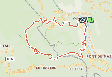

15.3 km | 23 km-effort


User


FREE GPS app for hiking
 SityTrail
IGN / Geographical institutes
SityTrail World
The world is yours!
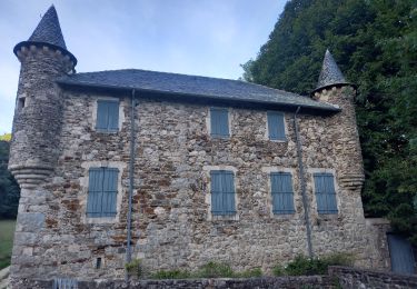
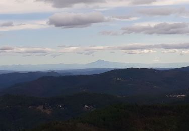
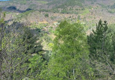
Trail Walking of 11.4 km to be discovered at Occitania, Gard, Génolhac. This trail is proposed by Levant .
Suivre le balisage jaune du PR2 de la FFR du Gard
Départ du parking de la gare de Genolhac


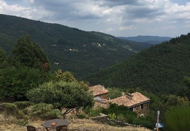
Walking
Walking
Walking

Walking

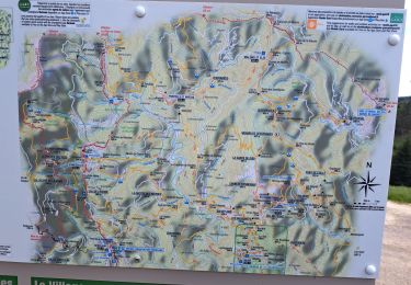
Walking

Walking
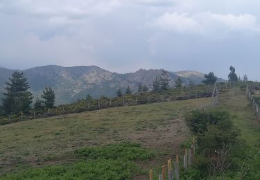
Walking
Walking
Walking