


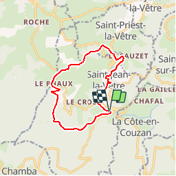


26 km | 36 km-effort

User


FREE GPS app for hiking
 SityTrail
IGN / Geographical institutes
SityTrail World
The world is yours!
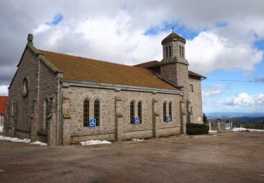
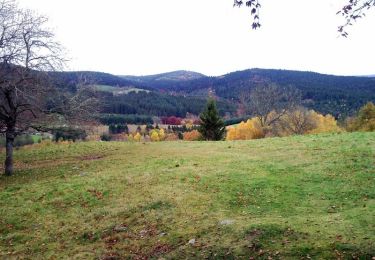
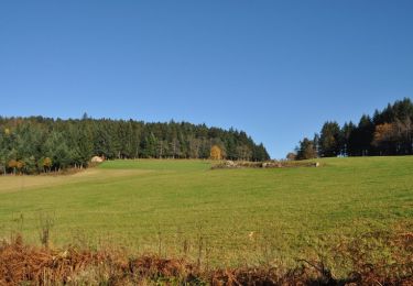
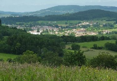
Trail Mountain bike of 11.8 km to be discovered at Auvergne-Rhône-Alpes, Loire, Saint-Jean-la-Vêtre. This trail is proposed by tracegps.
Circuit de basse montagne avec une montée du VVF Ventuel aux Vernières et l'autre de Saint Jean La Vêtre jusqu'au VVF Ventuel. Un petit passage dans le Phaux où l'on peut déguster des confitures et sirops dans un cadre sympa. Bonne rando.


Mountain bike

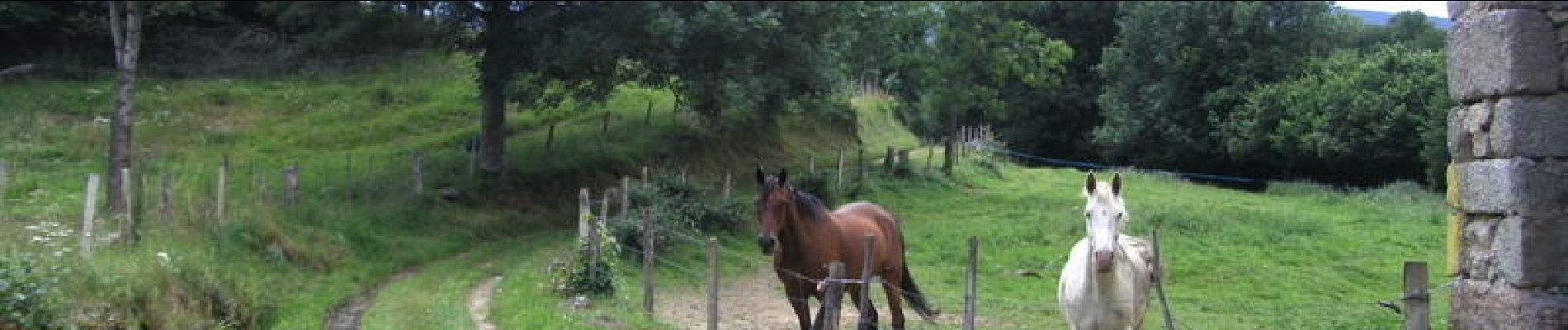
Equestrian
Equestrian
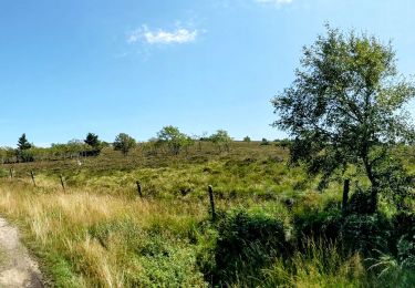
Walking
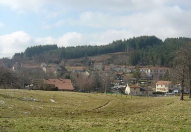
Cycle
Mountain bike
Mountain bike
Mountain bike
Mountain bike