


5.3 km | 7 km-effort

User


FREE GPS app for hiking
 SityTrail
IGN / Geographical institutes
SityTrail World
The world is yours!
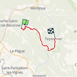
Trail Walking of 13.3 km to be discovered at Auvergne-Rhône-Alpes, Drôme, Roche-Saint-Secret-Béconne. This trail is proposed by tracegps.
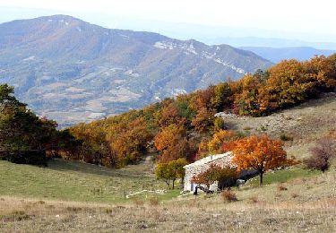
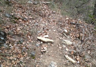
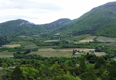
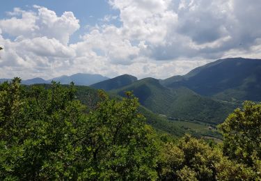
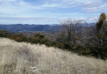
Quatrième étape: en route pour un parcours de long des crêtes de la Montagne de La Lance. Des falaises de La Roche Garaux (1340m) la vue s'étend sur le Pays de Dieulefit. Sous le couvert boisé on rejoins le Vieux Village de Teyssières (718m). Retrouvez le plan global du circuit sur le site de la Communauté de Communes du pays de Dieulefit.


Walking
Walking
Walking
Walking
Walking
Walking
Walking
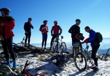
Mountain bike
Walking