


14 km | 26 km-effort

User


FREE GPS app for hiking
 SityTrail
IGN / Geographical institutes
SityTrail World
The world is yours!
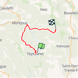
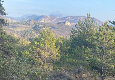
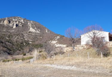
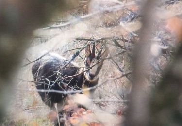
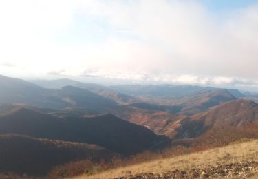
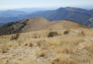
Trail Walking of 14.9 km to be discovered at Auvergne-Rhône-Alpes, Drôme, Teyssières. This trail is proposed by tracegps.
Cinquième étape : après le col de Marot (771m) on descend la Combe Lescour pour arriver au hameau de la paillette (481m). Une vallée vous permet d'atteindre le col Blanc (863m). Retrouvez le plan global du circuit sur le site de la Communauté de Communes du pays de Dieulefit.
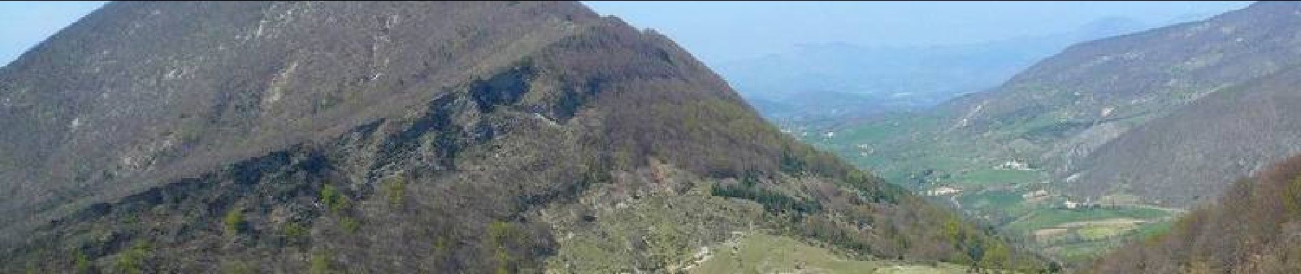
 - Photo 1")
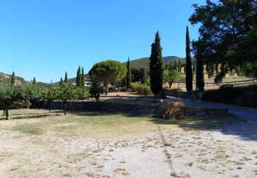
 - Photo 2")
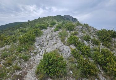
 - Photo 3")
 - Photo 4")
Walking
Walking
Walking
Walking
Walking
Walking

Walking
Walking
Walking