


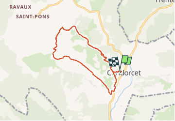

9.1 km | 17.9 km-effort


User


FREE GPS app for hiking
 SityTrail
IGN / Geographical institutes
SityTrail World
The world is yours!
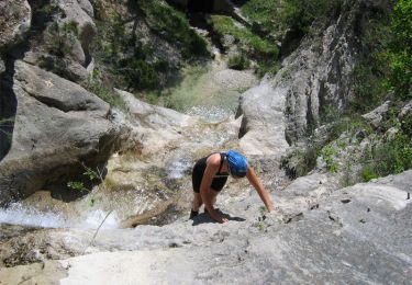
Trail Walking of 7.6 km to be discovered at Auvergne-Rhône-Alpes, Drôme, Condorcet. This trail is proposed by aitkhedache.
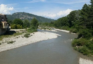
Balade facile si l’on évite d’aller jusqu’au château car le chemin est un peu scabreux.


Walking

Walking

Walking

Walking

Walking
Mountain bike
Walking

Mountain bike
Walking