Trail Walking Anglès -  Le plateau d'Anglès - Photo

Le plateau d'Anglès

 tracegps
tracegps

User

© OpenStreetMap contributors
Length
Length
18.1 km
Max alt
Max alt
857 m
Uphill gradient
Uphill gradient
484 m
Km-Effort
Km-Effort  
25 km
Min alt
Min alt
679 m
Downhill gradient
Downhill gradient
483 m
Boucle
Boucle
Yes
Creation date :
2014-12-10 00:00:00.0
Updated on :
2014-12-10 00:00:00.0

(0 Reviews)

Walking
Walking
4h30
Difficulty : Medium

Scan this QR Code to open this trail in the SityTrail application

FREE GPS app for hiking

Logo SityTrail SityTrail

IGN / Geographical institutes

Download SityTrail from the App Store Download SityTrail from Google Play

Logo SityTrail SityTrail World

The world is yours!

Download SityTrail from the App Store Download SityTrail from Google Play Download SityTrail on Huawei AppGallery

About

Trail Walking of 18.1 km to be discovered at Occitania, Tarn, Anglès. This trail is proposed by tracegps.

Description

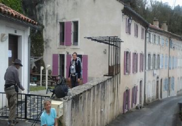
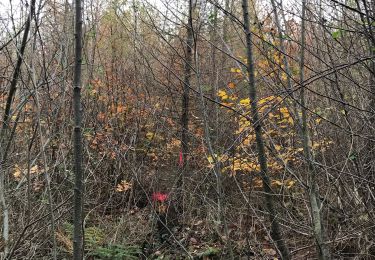
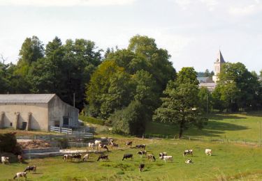
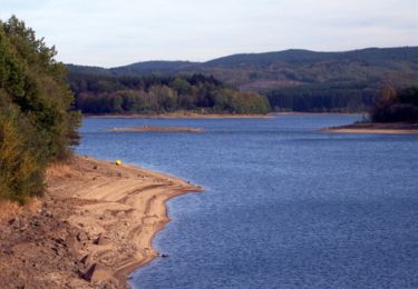
Au départ d'Anglès dans le Tarn, parcourez le plateau du même nom qui surplombe en partie le lac de la Raviège. Nombreux sous-bois, fraicheur assurée l'été, ce sentier est accessible à tous les randonneurs sachant marcher plus de 4h. Petit bémol, le balisage est impeccable la plus grande partie du parcours, mais à certaines intersections, il vous faudra consulter la carte et/ou un gps pour continuer sur le bon chemin (pensez à prendre l'imprimé du parcours).

Elevation profile

Photos

Positioning

Country:
France
Region :
Occitania
Department/Province :
Tarn
Municipality :
Anglès
Location:
Unknown
Start:(UTM)
464846 ; 4823697 (31T) N.

Trails nearby

Trail Walking Anglès - Angles - Boissezon - Photo
Walking
RR31

Walking

Medium
Anglès, Occitania, Tarn, France
22 km | 29 km-effort
Unknown
No
Trail Walking Anglès - Anglès Les Deveze  - Photo
Walking
GUIDE
Ada11

Walking

Medium
Anglès, Occitania, Tarn, France
21 km | 28 km-effort
6h 2min
Yes
Trail Walking Anglès - Forêt Angles - Photo
Walking
CEFAMALI

Walking

Anglès, Occitania, Tarn, France
3 km | 4.2 km-effort
6h 26min
Yes
Trail Walking Anglès - Anglès - Photo
Walking
jpp2caunes

Walking

Very difficult
Anglès, Occitania, Tarn, France
15.7 km | 20 km-effort
4h 20min
Yes
Trail Running Anglès -  Le plateau d'Anglès - Photo
Running
tracegps

Running

Medium
Anglès, Occitania, Tarn, France
18.1 km | 25 km-effort
2h 0min
Yes
Trail Walking Anglès - Forêt angles - Photo
Walking
CEFAMALI

Walking

Anglès, Occitania, Tarn, France
1.2 km | 1.4 km-effort
1h 58min
No
Trail Walking Anglès - Paucou chemin Compostelle.  - Photo
Walking
jll7513

Walking

Very easy
Anglès, Occitania, Tarn, France
7.7 km | 10.1 km-effort
2h 12min
Yes
Trail Walking Lamontélarié - 81_Rouquié - Photo
Walking
jab31

Walking

Medium
Lamontélarié, Occitania, Tarn, France
13.8 km | 20 km-effort
2h 57min
Yes
Trail On foot Anglès - le moulin de corbierre - Photo
On foot
CANON2

On foot

Medium
Anglès, Occitania, Tarn, France
15.1 km | 20 km-effort
4h 38min
Yes


Close
My subscriptions