


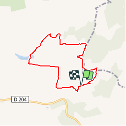

12.4 km | 15.6 km-effort


User


FREE GPS app for hiking
 SityTrail
IGN / Geographical institutes
SityTrail World
The world is yours!
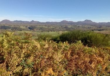
Trail Walking of 7 km to be discovered at Auvergne-Rhône-Alpes, Puy-de-Dôme, Gelles. This trail is proposed by tracegps.
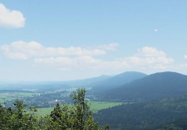
Un petit parcours sans dénivelée significative offrant des points de vue multiples sur la chaîne des Puys.

Mountain bike
On foot
On foot

Walking

Walking
Walking
Walking

Walking
Walking
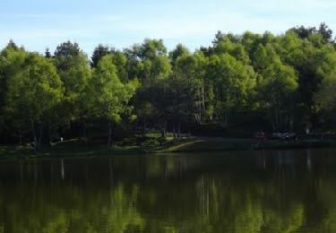
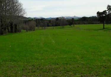
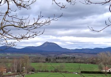
Belle balade, avec une belle vue sur les Dômes et le Sancy.