


6.6 km | 10.5 km-effort


User


FREE GPS app for hiking
 SityTrail
IGN / Geographical institutes
SityTrail World
The world is yours!
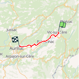
Trail Walking of 23 km to be discovered at Auvergne-Rhône-Alpes, Cantal, Vic-sur-Cère. This trail is proposed by tracegps.
Etape 12 de la via Arverna, chemin de Saint Jacques de Compostelle entre Clermont-Ferrand et Cahors. Cette étape longe la vallée de la Cère pour rejoindre Aurillac, chef-lieu et porte d’entrée vers les monts et le plomb du Cantal. Au cours de ce chemin, passage par plusieurs villages et curiosités (château de Polminhac). Ensuite, transition via les plaines permettant une découverte progressive d’Aurillac et de son agglomération. Retrouvez l'étape n° 12 sur le site de la «Via Arverna - chemin Saint-Jacques-de-Compostelle» ainsi qu'ICI sur le site de la « Via Arverna ».
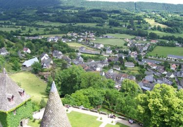
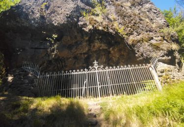
 - Photo 1")
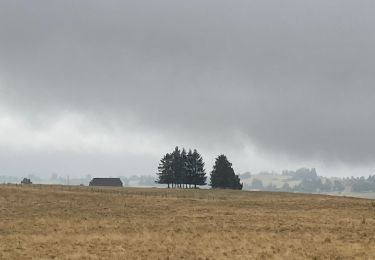
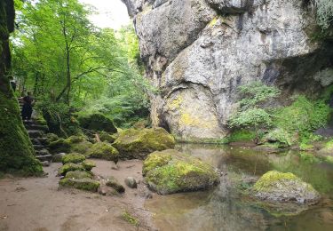
 - Photo 2")
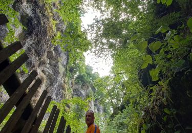
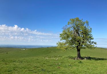
 - Photo 3")
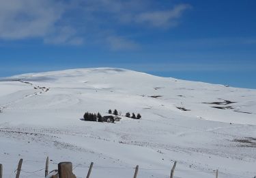
 - Photo 4")
 - Photo 5")
 - Photo 6")

Walking
Walking

Walking
Walking
Walking
Walking
Walking
Walking
Walking