


20 km | 31 km-effort


User


FREE GPS app for hiking
 SityTrail
IGN / Geographical institutes
SityTrail World
The world is yours!
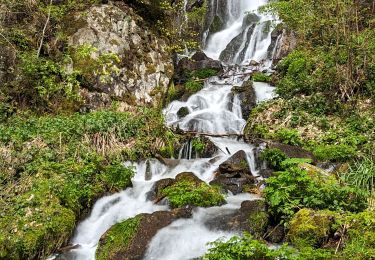
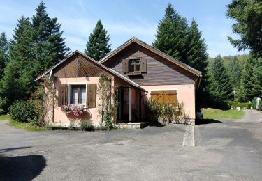
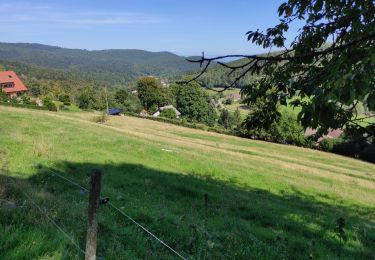
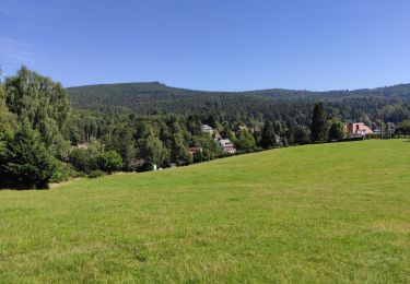
Trail Snowshoes of 18.3 km to be discovered at Grand Est, Bas-Rhin, Ottrott. This trail is proposed by tracegps.
Départ du parking sur la D130 après le Col de la Rothlach, puis direction La Serva, ensuite col de la Charbonnière et retour à travers bois vers Rothlach.


Walking

Walking
Walking
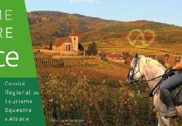
Horseback riding

Horseback riding
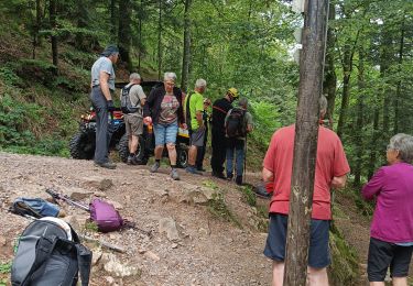
Walking
Walking
Walking