


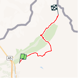


15.2 km | 32 km-effort


FREE GPS app for hiking
 SityTrail
IGN / Geographical institutes
SityTrail World
The world is yours!
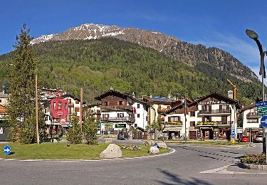
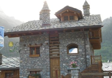
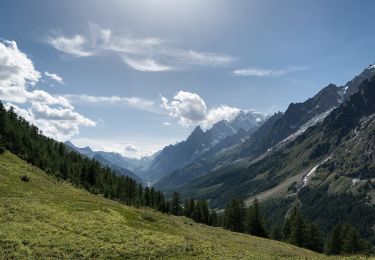
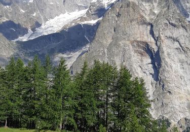
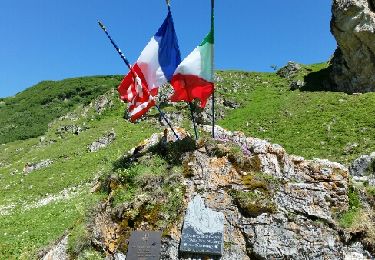
Trail Walking of 16.5 km to be discovered at Aosta Valley, Unknown, Courmayeur. This trail is proposed by maxime.ranchin@aliceadsl.fr.
On foot
On foot
On foot
On foot
Walking
Walking

Walking
Walking
Walking