


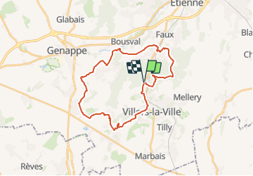


13.3 km | 16.4 km-effort

Randonnez sur et autour des GR ® wallons (Sentiers de Grande Randonnée). PRO


FREE GPS app for hiking
 SityTrail
IGN / Geographical institutes
SityTrail World
The world is yours!
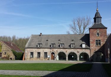
Trail Walking of 26 km to be discovered at Wallonia, Walloon Brabant, Villers-la-Ville. This trail is proposed by GR Rando.
Villers-la-Ville, Sart-Dames-Avelines, Baisy-Thy, La Roche, Villers-la-Ville
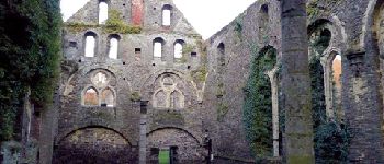
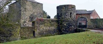
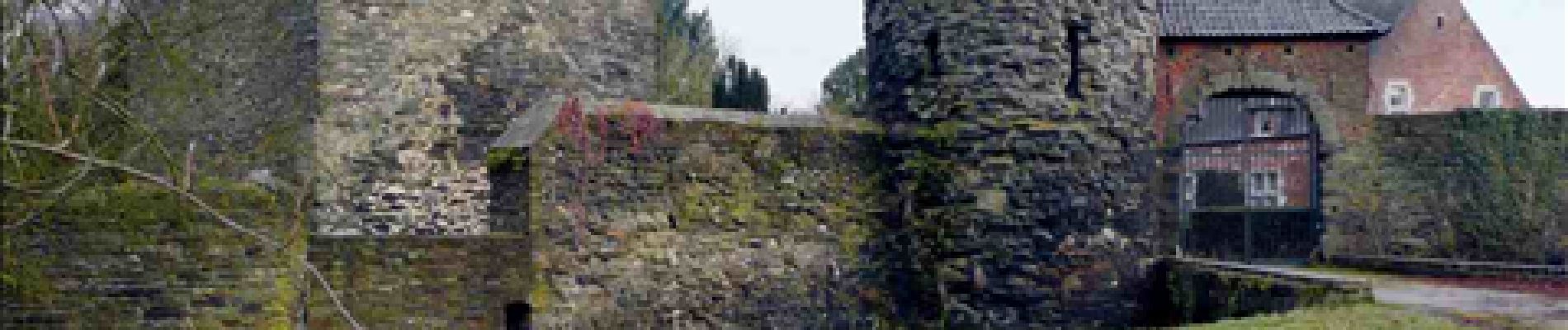
Une balade aux multiples facettes, particulièrement éloignée des axes fréquentés. Vous évoluez dans de vastes espaces champêtres, parmi de séduisants vallons, au sein de plusieurs massifs boisés. Beaucoup de larges horizons et, en prime, le site fascinant des ruines de l'abbaye de Villers.
Cartographie et documentation
Cartes IGN au 1 :20 000, 39/7-8 « Nivelles – Genappe » et 40/5-6 « Chastre –
Gembloux».
Carte de promenades « Villers-la-Ville » au 1:20 000, éditée par le Syndicat d’initiative
de Villers-la-Ville en collaboration avec l’IGN.
Carte de promenades « Genappe » au 1:25 000, éditée par le Syndicat d’initiative de Genappe en collaboration avec l’IGN.
Topo-guide du GR 12 « Amsterdam – Bruxelles – Paris » et du GR 121 « Wavre –
Boulogne-sur-Mer ».
Topo-guide du GR 126 « Bruxelles – Namur – Membre-sur-Semois ».
Où se désaltérer et se restaurer
Près des ruines de Villers-la-Ville, le « Chalet de la Forêt » et, de l’autre côté du site, le « Moulin de Villers », une taverne-restaurant, offrent tous deux une possibilité de
petite restauration.
À l’entrée du village de Villers-la-Ville, à environ un kilomètre des ruines, le restaurant « Le Cigalon ».


Walking

Walking

Walking

Walking

Walking

Walking
Walking

Walking
Walking
Très beau parcours. Petits passages boueux dans les périodes pluvieuses.
schitterend natuurparcour, veel sentiers
Recherche de parcours difficile et où sont les GR
Trop de route...