


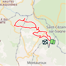

6.5 km | 9.5 km-effort


User


FREE GPS app for hiking
 SityTrail
IGN / Geographical institutes
SityTrail World
The world is yours!
Trail Walking of 16.6 km to be discovered at Provence-Alpes-Côte d'Azur, Var, Montauroux. This trail is proposed by verolande.
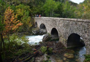
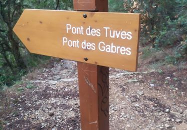
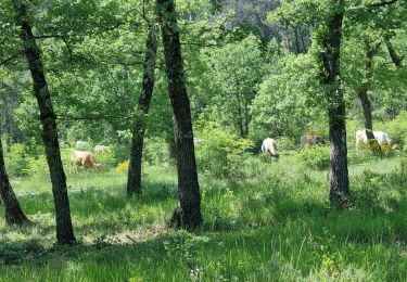
stade de Montauroux, traversée de la D96 à Callian, domaine de Marestruc, les hautes Garamagnes, forêt domaniale de Tourrettes, les Basses Garamagnes, canyon de la Siagnole, les Baumettes, le bas défens, retour au stade de Montauroux
On foot

Walking
Walking
Walking
Walking
Walking
Walking
Walking
Walking