Trail Winter sports Sainte-Croix - Lausanne-Yverdon (parcours inédit) - 4/4 - Photo

Lausanne-Yverdon (parcours inédit) - 4/4

 Romrando
Romrando

User

© OpenStreetMap contributors
Length
Length
15.5 km
Max alt
Max alt
1048 m
Uphill gradient
Uphill gradient
89 m
Km-Effort
Km-Effort  
18.7 km
Min alt
Min alt
431 m
Downhill gradient
Downhill gradient
700 m
Boucle
Boucle
No
Creation date :
2014-12-11 00:00:00.0
Updated on :
2014-12-11 00:00:00.0

(0 Reviews)

Winter sports
Winter sports
--
Difficulty : Unknown

Scan this QR Code to open this trail in the SityTrail application

FREE GPS app for hiking

Logo SityTrail SityTrail

IGN / Geographical institutes

Download SityTrail from the App Store Download SityTrail from Google Play

Logo SityTrail SityTrail World

The world is yours!

Download SityTrail from the App Store Download SityTrail from Google Play Download SityTrail on Huawei AppGallery

About

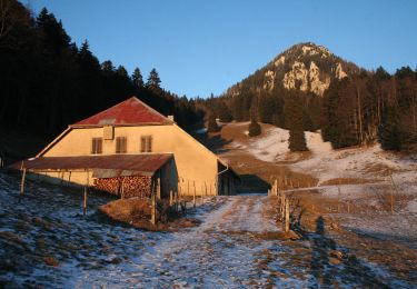
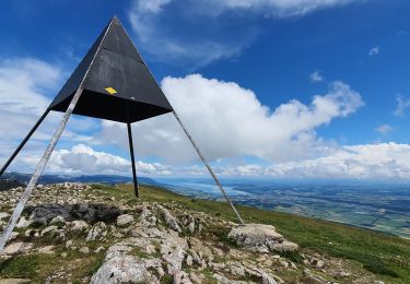
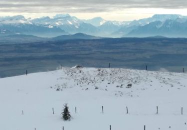
Trail Winter sports of 15.5 km to be discovered at Vaud, District du Jura-Nord vaudois, Sainte-Croix. This trail is proposed by Romrando.

Description

Source:geocities.com/romrando

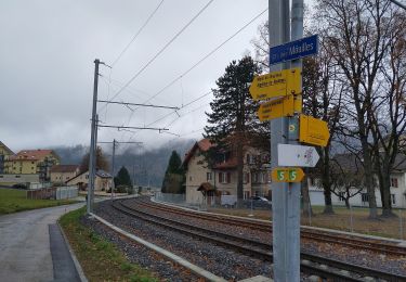
Lausanne - Yverdon - 4/4

Partie 4 : Ste-Croix - Yverdon

De La Sagne franchir vers l''E la voie ferrée et rejoindre par un chemin le hameau de "Chez Jaccard". Descendre 1 km vers la "Step". On s''engage alors dans les gorges de Covatannaz sur un sentier au début raide et très étroit, on franchit un petit défilé puis on rejoint plus bas une petite route qui amène jusqu''à Vuiteboeuf.

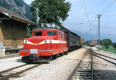
Dès la sortie du village une petite route puis un chemin mène à Orges. 200 m avant le village, prendre à droite vers le Sud et 500 m plus loin à gauche un chemin qui mène jusqu''à Valeyres-sous-Montagny. Par la route on rejoint Yverdon. (Retour en train)

Elevation profile

Positioning

Country:
Switzerland
Region :
Vaud
Department/Province :
District du Jura-Nord vaudois
Municipality :
Sainte-Croix
Location:
Unknown
Start:(UTM)
309271 ; 5187752 (32T) N.

Trails nearby

Trail On foot Sainte-Croix - La Gittaz-Col de l'Aigullon - Photo
On foot
PRO

On foot

Easy
Sainte-Croix, Vaud, District du Jura-Nord vaudois, Switzerland
4.1 km | 6.4 km-effort
1h 26min
No
Trail On foot Sainte-Croix - Sainte Croix-La Gittaz - Photo
On foot
PRO

On foot

Easy
Sainte-Croix, Vaud, District du Jura-Nord vaudois, Switzerland
5.7 km | 8.3 km-effort
1h 53min
No
Trail On foot Sainte-Croix - Chemin de la Gare - Photo
On foot
PRO

On foot

Easy
Sainte-Croix, Vaud, District du Jura-Nord vaudois, Switzerland
6.5 km | 8.6 km-effort
1h 57min
No
Trail Walking Jougne - Aiguilles de Baulmes - Suisse - Photo
Walking
albert39

Walking

Difficult
(1)
Jougne, Bourgogne-Franche-Comté, Doubs, France
16.4 km | 26 km-effort
5h 33min
Yes
Trail Walking Sainte-Croix - le Chasseron par les avattes - Photo
Walking
viam19

Walking

Medium
Sainte-Croix, Vaud, District du Jura-Nord vaudois, Switzerland
13.3 km | 20 km-effort
4h 18min
Yes
Trail Walking Jougne - aiguilles de Baulmes et retour  Suchet  - Photo
Walking
BM25

Walking

Very easy
Jougne, Bourgogne-Franche-Comté, Doubs, France
23 km | 37 km-effort
6h 31min
Yes
Trail Snowshoes Sainte-Croix - Col des Etroits Le Chasseron CAF - Photo
Snowshoes
TRIMAILLE

Snowshoes

Difficult
Sainte-Croix, Vaud, District du Jura-Nord vaudois, Switzerland
12.2 km | 19.9 km-effort
Unknown
Yes
Trail Walking Sainte-Croix - Sentier des bornes sud  - Photo
Walking
mallovon

Walking

Very easy
Sainte-Croix, Vaud, District du Jura-Nord vaudois, Switzerland
6.7 km | 8.7 km-effort
2h 46min
Yes
Trail Other activity Sainte-Croix - Les Montagnes de Baulnes  - Photo
Other activity
Mecki

Other activity

Very easy
Sainte-Croix, Vaud, District du Jura-Nord vaudois, Switzerland
5.5 km | 9.2 km-effort
1h 44min
No


Close
My subscriptions