


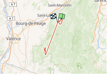

8.6 km | 16.2 km-effort


User


FREE GPS app for hiking
 SityTrail
IGN / Geographical institutes
SityTrail World
The world is yours!
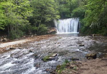
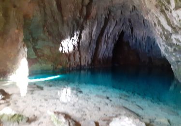
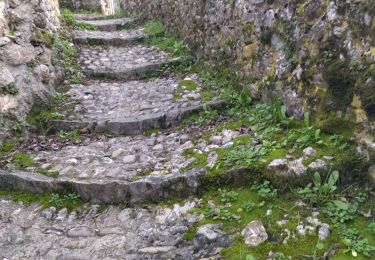
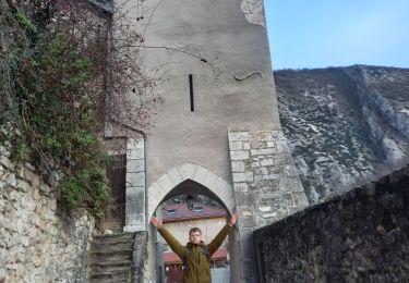
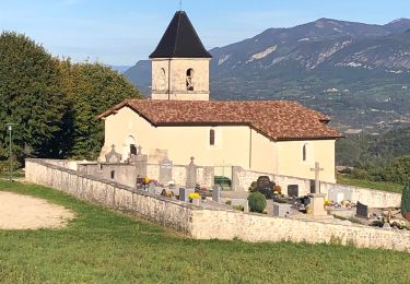
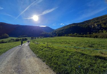
Trail Other activity of 93 km to be discovered at Auvergne-Rhône-Alpes, Drôme, Saint-Laurent-en-Royans. This trail is proposed by llang57.


Walking
Walking
Walking
Nordic walking
Walking
Walking
Walking
Walking
Walking