


Descente Hohlandsbourg option 2

staubalex
User
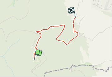

Length
2.9 km

Max alt
628 m

Uphill gradient
13 m
Km-Effort
4.2 km

Min alt
263 m

Downhill gradient
368 m
Boucle
No
Creation date :
2014-12-10 00:00:00.0
Updated on :
2014-12-10 00:00:00.0
14m
Difficulty : Medium

FREE GPS app for hiking
 SityTrail
IGN / Geographical institutes
SityTrail Plus
The world is yours!
About
Trail Mountain bike of 2.9 km to be discovered at Grand Est, Haut-Rhin, Wintzenheim. This trail is proposed by staubalex.
Positioning
Country:
France
Region :
Grand Est
Department/Province :
Haut-Rhin
Municipality :
Wintzenheim
Location:
Unknown
Start:(Dec)
Start:(UTM)
371011 ; 5324414 (32U) N.
Comments